A couple weeks ago I gave y'all a sneak-peek at my soggy stay at Garner State Park back in December with the promise of more to come, namely some of the hiking I did while there.
So OK. I'm finally getting around to it now.
I'll start by pointing out that this park has multiple personality disorder. (Although I do dislike the use of "disorder" in these classifications. Technically I show signs of having "social anxiety disorder", but to me it's not a disorder at all, it's just natural. So what if other people are different than me? Does that automatically make me a disorder?)
Anyway - - -
The north end of the park encompasses the bottom of the Frio River Canyon, which offers relatively flat and mild hiking on soft and fertile land.
While the south end of the park includes the rugged hills and limestone bluffs that make up a good portion of the central part of Texas.
So when you are here there's the choice of hiking, almost strolling, the bottom-lands on the 3 mile long Frio Canyon Trail
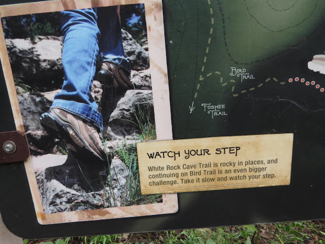
which includes a 3/4 mile stretch marked up as an interactive wildlife trail with a number of info-plaques along the way.
Or, if you are foolish enough to want something a little more
you could head for the many trails up in the hills down in the south end of the park.
As is normal for me, I spent much of each of the days I was there hiking many of the trails on offer.
I did dedicate one hike to the easy canyon bottom, but, as is also normal for me, (Mom is rolling her eyes in exasperation right now) most of that hiking was in the more challenging terrain of the hills and bluffs around the south end of the park.
But first.
I'm camped at the end of that arrow, and in order to go hiking I have three choices.
1) Drive The Van a few miles to a trailhead and back every day.
2) Leave The Van parked and hike 3/4 of a mile of park roads to the nearest trail intersection, (that yellow path) which is not a trailhead, just some faded zebra-stripes on the road where the trail crosses it, and follow that purple trail (the Canyon trail) to where I want to start hiking.
3) Leave The Van parked, take a compass heading due west and bushwack a quarter mile (that green path) to intersect the nearest established trail, and follow that (purple again) trail to where I want to start hiking.
I'll let you guess at which of the three options I chose.
OK, so I guess there's not THAT much guessing involved - - -
In order to make my life easier, once I reached the established trail after bushwacking through the first time I laid a few found branches down at the edge of the trail.
They wouldn't mean anything to anybody else, but because I knew what to look for, at the end of a hike I could easily and quickly locate the point where I needed to leave the established trail and head out cross-country to return to The Van.
And to make it even easier, as in not needing the compass every time I left or returned to camp, I "flagged" my route with surveyors tape.
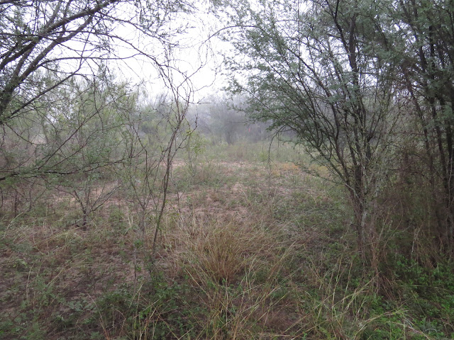
Here I'm standing on the established trail at my stick-marker and out there at the limits of visibility
in this rain heavy photo is my first flag.
In all there were 4 or 5 of them guiding me in and out of my campsite.
On the last hike of my last day I scattered the sticks and collected my flags as I went, leaving no trace other than a few fading footprints behind.
Since I've got a whole lot more photos, and a few more videos, left over there will be more coming on my hikes in Garner State Park. - maybe -


I think that's the first time I've heard your voice. Nope, it wasn't too hard to guess that you would be bushwacking to the slippery rocks trail. I should stick some surveyor's tape in my backpack; good idea.
ReplyDeleteI'm still not convinced you heard my voice. That's my brother's voice and doesn't sound at all like I think I sound.
DeleteYep, a few grams of surveyor's tape has come in very handy more than once.
wonderful
ReplyDeleteyep, it sure was.
Delete