At first, when I grabbed it off the counter as I was checking into my campsite, it looked like a good deal since they've gone to a larger format, 11x17 instead of the old standard of 8.5x14, and bigger is always better, right??
Well. . .
First off, by folding the old standard into thirds it fits very nicely into the outer thigh pocket of most cargo/tactical pants where it's protected from the hazards of the trail but handy. The new format? Not so much. I had to add an extra fold, folding it into thirds then doubling it over again, before it would fit into my pocket. This proved quite annoying as the bulkier map had to be wrestled, both into and out of the pocket, and then unfolded and unfolded and unfolded and refolded and refolded and refolded every time I wanted to take a peek. I tried reverting to my secondary carry point, tucking the map under one of the shoulder straps of my pack where it's super handy but very exposed to the ravages of the trail, not to mention the sweat of a hot hike, but that wasn't any better because if I didn't fold it all the way up, which was the whole point, I had to listen to the extra real estate that was sticking out there to the side rubbing and crinkling and rattling every time I moved my arm, and I don't know about you, but I find the extra noise unacceptable and the alternative, hiking uneven terrain without moving my arm, is a challenge I can do without.
 |
| Side by side comparison of the old and new map formats. Note the extra fold required in the larger map to get it into my pocket. |
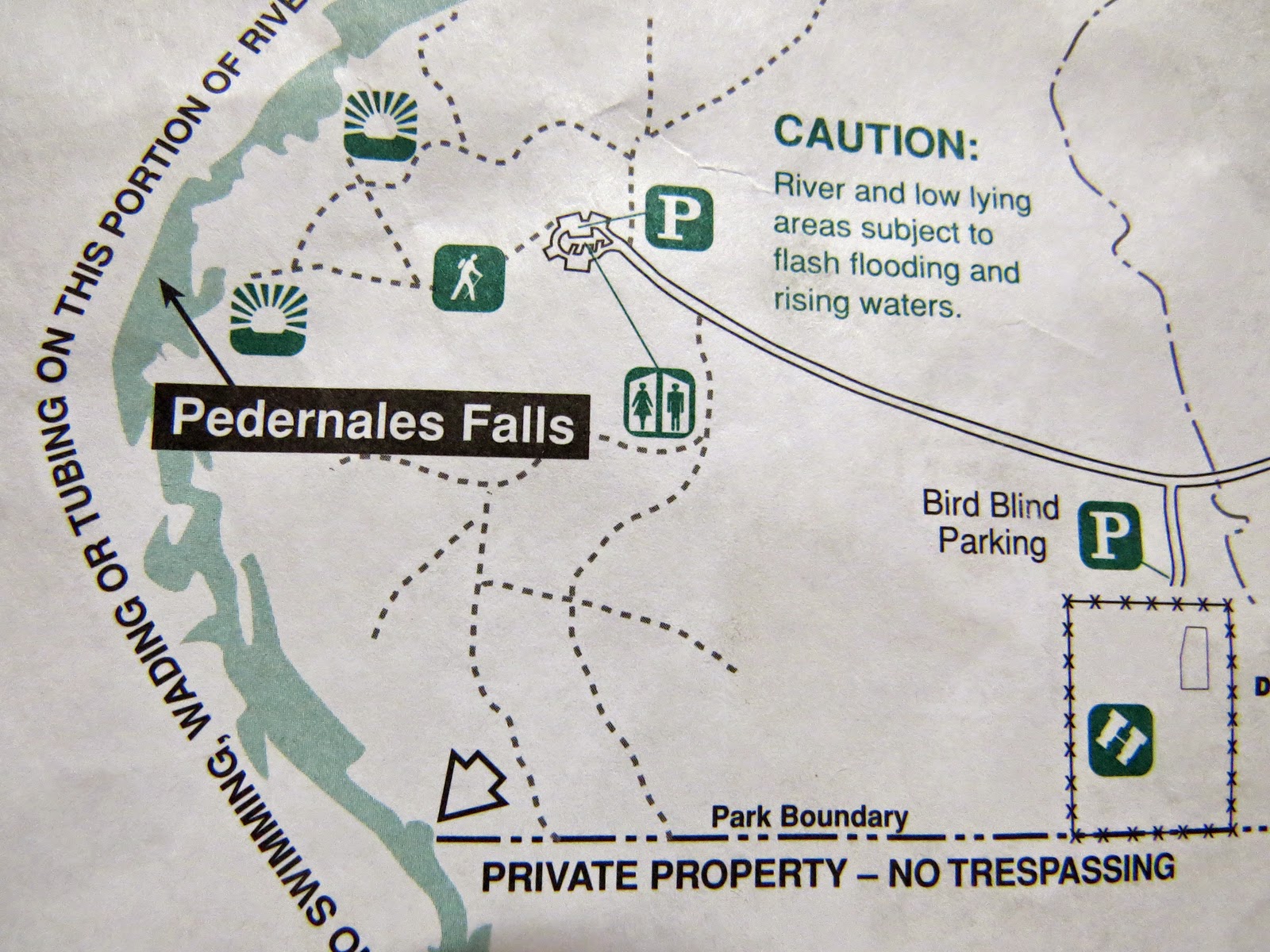
Second off, contrary to what you might expect, in this case bigger doesn't mean more detail. In fact the new map pretty much sucks in this area. For some reason I'm sure some pin-head, desk-bound bureaucrat can justify with a 10 page memo, in triplicate, all of the topographical data, landmarks and trail distances have been left off of the whole north end of the park, details of the complex web of trails down around the duck pond area along with the whole Hackenburg Loop Trail have been reduced to a few stray squiggles with no sign of the duck pond at all and most lesser side trails have been left off the new map altogether, along with all of the equestrian trails.
 |
| I swear there used to be a duck pond around here somewhere!!? |
Now I happen to like lesser side trails and I especially like the equestrian trails. For some reason it seems like when most hikers see a trail marked as equestrian they avoid it, (Maybe they're afraid someone will mistake them for an ass!) and I find that very handy when there's more people tramping around than I like. I very rarely run into another hiker on an equestrian trail and only occasionally have an encounter with the four-leggers the trail has been designated for. (When that happens I step well off the trail, stand still and respond quietly to any greetings so as not to appear threatening to the potentially skittish Equus ferus.)
So, like I said, my first reaction was to bitch about the new map, but on second thought; I already know that when I walk to the end of the campground road, turn south and go to the third power pole, tucked back there about 100 yards from the road, then start bushwacking due west I'll avoid all but one 8' ledge as I climb towards the knob in front of me and eventually hit the east arm of the South Equestrian loop. From there I can move freely, and in peace, from one end of the park to the other while staying well clear of any roads and the more popular trails. And so what if new-comers can't find the duck pond, I know where it's at, along with the ruins of a couple blinds that are still functional. And side trails? I've been on many of them and I'm sure I can manage to find others, on the map or not.
Now if I was unfamiliar with the park, that might be a whole 'nother story, but I am so what am I bitching about??
Of course there's still the issue of folding the damn thing up so I can carry it. . .


