
Less than a week ago I had been driven off the Trestle Recreation Area by high winds
and frigid temperatures, but if we've learned anything from my failure on the Dog Cannon Trail followed shortly by a questionable second attempt at it, sometimes I’m not one to just give up. (I threw in that sometimes because - well - you know - sometimes once is enough!)
This time, even though it wasn’t yet
Easter (Clearly I don't blog in real-time!) when the bathrooms were promised to be open, the gate to the recreation area was unexpectedly open. I hung a hasty right and was soon headed back
up the paved section of trail towards the Overlook.
Also different this time
was the lack of snow, which you can see in the photo above, and calm winds,
which you can’t see.

Last time I looked at this view down
the canyon the lighting conditions were different and the eye-watering wind was
vicious, precluding long study. This time the same view revealed an interesting
bit of additional information.
Yep, that’s still High Rolls nestled
down there in a wide spot of the canyon floor with the highway, (US82) slipping off
to the left of that ridge blocking the far end of high Rolls while the railroad
dove off to the right into Solado Canyon where it then followed Fresnal Creek down towards La Luz.
But what I found exciting this time was that
way over there on the right edge of this photo you can see remnants of the
switchback the railroad used to gain altitude for the final run into
Cloudcroft.
If you let your eye follow the bottom of the canyon up from High
Rolls it eventually runs off the right edge of the photo. The railroad (back
then) and the highway (today) are down there just out of sight behind the trees following this line, but if, just
before you hit the edge of the photo, you let your eye drift up just a little
there’s a faint diagonal mark climbing up the side of the canyon from right to left
that intersects with another faint trail moving from left to right and off the edge
of the photo.
Yep!! That’s the switchback, still
there!!! That’s where crews precariously backed heavy trains up the zig then
pulled forward across the zag as they laboriously worked goods, passengers and
empty log-cars up the mountain!!!!
OK, I know for most of you such an observation
does not deserve so many exclamation points, but – well, I think we’ve already
established that I can be a bit of a freak about railroads sometimes. . .

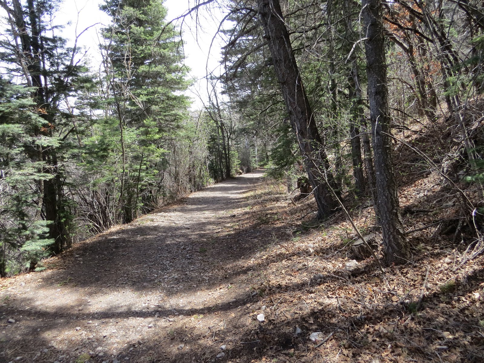
And the rest of the Trestle Recreation Area does
not disappoint!
Unlike last time I was here, this time I was able to take the
right-hand trail without undue risk to life and well-being and it wasn’t long
at all before I was taking this photo of the hand-dug and blasted cut called Devil’s Elbow by holding the camera high and shooting nearly straight down,.
For half a century trains carefully
transited the narrow confines at the bottom of this cut, driving the economy
and development of the Sacramento Mountains as timber was hauled out of the
area to be turned into lumber down at the mill in Alamogordo. Lumber that fed
the demands of growing populations from El Paso to Albuquerque and beyond.

Shortly after that I was at the
S Trestle.
Of the 58 timber trestles of the 32
mile long A&SM railroad this was the longest and was also unique-ish among
timber trestles everywhere because it incorporated two opposing 30 degree
curves. (About a 193 foot radius.)
Now non-railroad freaks may not know
that S curves are looked at with great suspicion by railroad designers because
they create unexpected dynamics on moving trains that can have undesirable
effects, (Like wrecks!) but sometimes there was just no other choice.
Notice that even when hauling a
string of empties, like the train in the photo. that the engines are spaced out, one at the front and one at the rear. This sets up a whole different dynamic that, without skill and careful
handling, can also have disastrous results, (Think about lining up a string of
checkers end to end on the table then pushing the checkers on either end back
towards each other. Yeah, same thing can
happen with trains; suddenly there's railcars everywhere!) but it was necessary to take that
risk in this case in order to prevent putting too much of a concentrated load
on any one spot of the trestle (Railroad engines are heavy!!)
When I took this photo of the information plaque I was
standing right about where the far engine is, just at the end of the trestle.
1035

And for those willing to take a
detour and do a little light climbing, the path of the trestle itself can be walked today.

Unlike the nearby Mexican Canyon
Trestle, the S-Trestle is no longer standing, having fallen down in 1960, only 13
harsh winters after the last train ran.

But if anything that makes it even
more spectacular

because I was able to get close
enough to feel the splinters, and hear echos of the clang of driven spikes,

and the grunt of men tightening these
bolts more than a century ago.

After communing with railroads and
the men that built them, I eventually returned to the official trail.
At this point I can look up the 3.5% grade (3.5 feet rise/drop per hundred feet) and
still see the S-Trestle info-plaque up there at the top.
Then turn the other way and see the
tracks edging downward along a hillside as they start the long, steep run towards the basin.

Unfortunately I could only edge
along that same hillside only just so far

Before the old roadbed was straddled
by private property.

After switch-backing down the
mountain, across a ravine, then back up again, the public trail rejoins the old
railbed on the other side of that private patch (How cool would it be to have a
piece of historic railroad cutting through your property!!)

only to dead-end less than a half mile
later at the Mexican Canyon Trestle.

This trestle wasn’t the longest of the railroad, nor
the highest, but is the only trestle on the railroad still standing today, probably because its
highly visible location warranted 20 years of restoration work which was finally completed
in recent years

This might look inviting to the
adventurous

But it’s 60 feet from rail to the
bottom of the canyon and the Rangers don’t take kindly to tourists
bouncing off the newly restored timbers on the way down! (Somebody has to clean up the mess and the perpetrator is likely in no condition to help!)

By putting together several
different trails in the Trestle Recreation Area
it’s possible to come up with loop of 5 or so miles of peaceful, soul-healing, forested mountain
hiking here, some of it along old rail beds and some along the original
Cloudcroft highway alignment, but
remember that this is all up above 8000 feet so altitude acclimation is recommended
before getting too ambitious!
WOW Thanks for the coverage of the area. At 8000 feet I will never get to walk it.
ReplyDeleteThe elevation is an issue, but that's what makes it a pretty interesting enclave there in the desert southwest
DeleteLooks like plenty of room to walk across those new boards .... plenty of room to feel light headed in the middle ... and a lot of things to hit on the way down 60' out of control.
ReplyDeleteYou go ahead and do the walking, I'll take the video! I'll bet we could make a few bucks on youtube while the hounds are nursing you back to health.
DeleteMaybe what we would make off of the video, could be used for my medical bills, if I still have a pulse.
DeleteOK,maybe the whole falling-video thing is not such a good idea after all
Delete